Show summary Hide summary
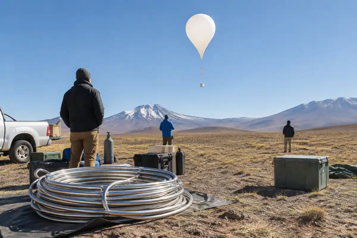
Bolivian scientists from the Universidad Mayor de San Andrés (UMSA) launched stratospheric balloons to about 30 kilometers above the Oruro Altiplano in a 12‑day campaign that began on October 6, 2026. The campaign — the third time crews have flown these balloons south of Oruro — collected continuous vertical profiles of greenhouse gases from near‑stratospheric altitudes down to the surface, a dataset campaign organizers say will strengthen atmospheric transport models and create a baseline for monitoring changes over the Andean plateau.
How the balloons and AirCore sampling work
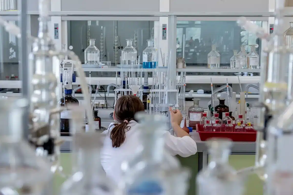
The launches used helium balloons to carry an AirCore sampling instrument aloft until the balloon burst at peak altitude. The AirCore is a long, coiled stainless‑steel tube that is open at one end and sealed at the other. During the parachuted descent, rising atmospheric pressure forces ambient air into the tube so that successive layers of the atmosphere are captured in order along its length. Once recovered, the AirCore is taken to a laboratory in Oruro, where a continuous analyzer measures concentrations of carbon dioxide, methane and carbon monoxide across the full sampled column.
Bolivian scientists launch balloons 30 km up to measure greenhouse gases above the Andes
Early voting opens in New York as key races get underway
Organizers say this technique produces an ordered, unbroken record of the atmospheric column that neither satellites nor fixed ground stations can replicate at the same vertical resolution. The wide, flat terrain of the Altiplano south of Oruro provides broad, accessible landing zones that make timely recovery feasible — a practical reason the site has hosted the campaign three times.
A Franco‑Bolivian partnership and standards alignment
The campaign was led by UMSA’s Laboratory of Atmospheric Physics (LFA) in partnership with France’s Laboratoire des Sciences du Climat et de l’Environnement (LSCE), with additional support from the Institut de Recherche pour le Développement (IRD). The collaboration follows a shared measurement protocol used for AirCore deployments in France and Canada, which campaign scientists say allows the Bolivian data to be directly compared with readings from other locations in the international monitoring network.
Researcher Laura Ticona, who directed the campaign’s scientific and technical work, is completing her doctorate at the LSCE in France; French specialists provided remote support during the October operation while Bolivian personnel carried out the fieldwork. LFA director Marcos Andrade — who leads Bolivia’s Global Atmosphere Watch (GAW) station at Chacaltaya, confirmed as the world’s highest at 5,240 meters above sea level — also participated in the campaign, providing institutional continuity for the program.
Local teams and capacity building
Bolivian media outlet Red Uno reported that scientists and students of Bolivian nationality made up nearly the entire field crew for this third campaign, with several young women from UMSA playing central roles in both field operations and scientific tasks. Campaign organizers highlight that conducting the launches and recoveries with largely national teams supports Bolivia’s ability to produce internationally valid data without requiring foreign personnel on the ground.
What the three gases reveal
The three gases measured by the AirCore tell different stories about atmospheric processes. Carbon dioxide and methane are the principal anthropogenic greenhouse gases, and their vertical distribution helps validate the atmospheric transport models used in climate assessments, including those that inform Intergovernmental Panel on Climate Change (IPCC) projections. Carbon monoxide serves as a tracer of combustion, helping researchers distinguish plumes from Amazon fires, agricultural burning or industrial emissions across South America.
Bolivia’s position on the Andean plateau — high enough to sit between low‑tropospheric pollution corridors and the free troposphere — means measurements there can separate overlapping signals from multiple continental sources in ways that sea‑level stations cannot, campaign scientists say.
Toward a permanent Andean atmospheric observatory
The balloon program is one component of UMSA’s broader effort to anchor Bolivia in global climate monitoring. The LFA is pursuing integration of the Chacaltaya station into ACTRIS (the Aerosol, Clouds and Trace Gases Research Infrastructure), a European atmospheric science network; a 14‑member delegation from Europe and the United States visited Chacaltaya in late April 2026 to evaluate the site’s readiness. If that bid succeeds, UMSA officials say the combination of year‑round observations at Chacaltaya and repeated stratospheric AirCore profiles over the Oruro Altiplano would create a vertically integrated observatory spanning the Andean column from the plateau surface to the lower stratosphere.
For Bolivia — where Andean glaciers are retreating and climate impacts are a pressing concern — campaign organizers emphasize that the new observational record provides a measurable baseline to track how the atmosphere above the high plateau is changing over time.